
AI-Assisted Survey Drafting
Turn survey plans into CAD-ready digital geometry.
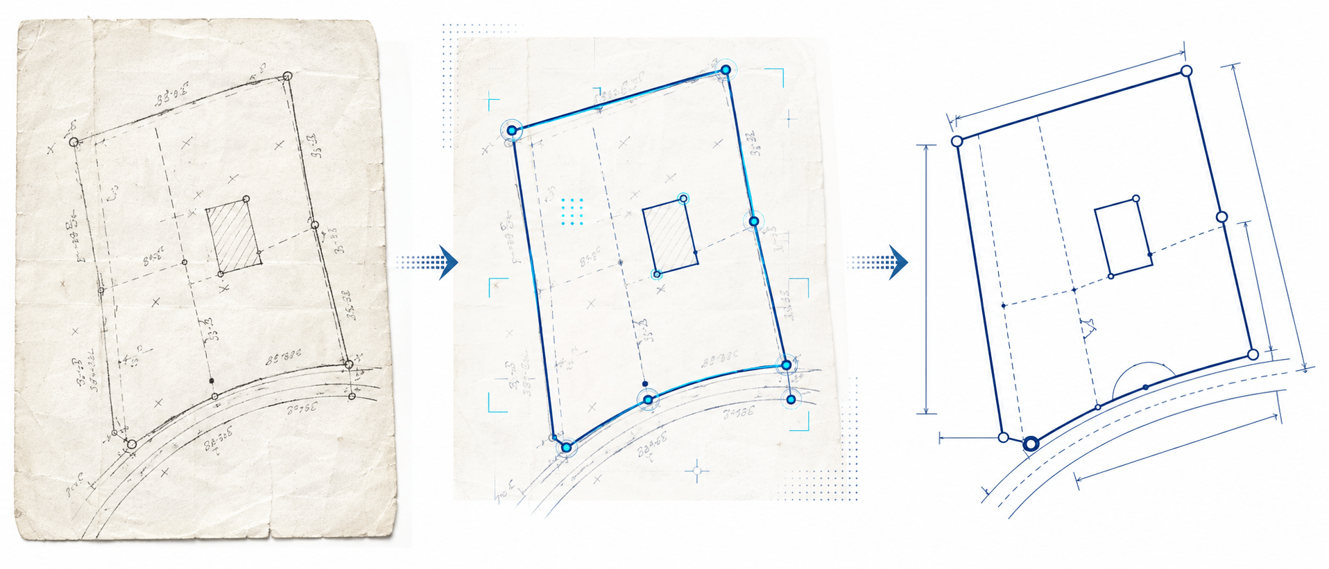
GeoAlign Pro reads survey plans, extracts bearings, distances, curves and survey evidence, reconstructs geometry, performs automated QA, and prepares structured data for professional CAD and GIS workflows.
Survey Plan→
AI Extraction→
Geometry→
QA→
Review→
DXF
The Problem
Stop rebuilding survey plans manually.
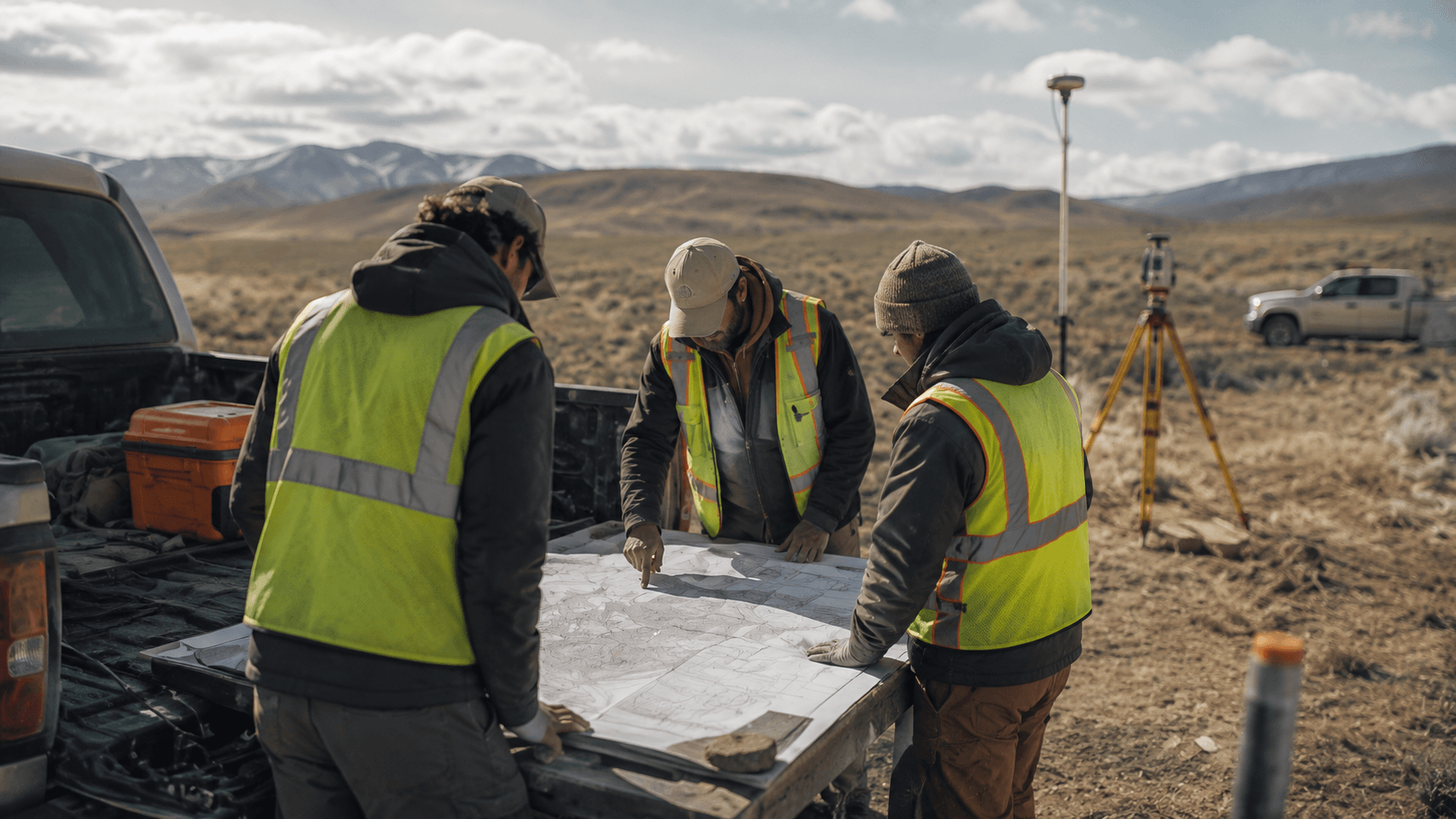
Important survey information is often trapped inside PDFs, scanned records, and historical plans. GeoAlign Pro automates the repetitive parts of reconstruction — while keeping professional verification at the center of the workflow.
- Reading bearings, azimuths and distances by hand
- Interpreting curves and reconstructing parcel boundaries
- Calculating coordinates and checking closure
- Comparing adjoining boundaries and missing measurements
- Building CAD linework and preparing GIS data
How It Works
From plan to digital draft.
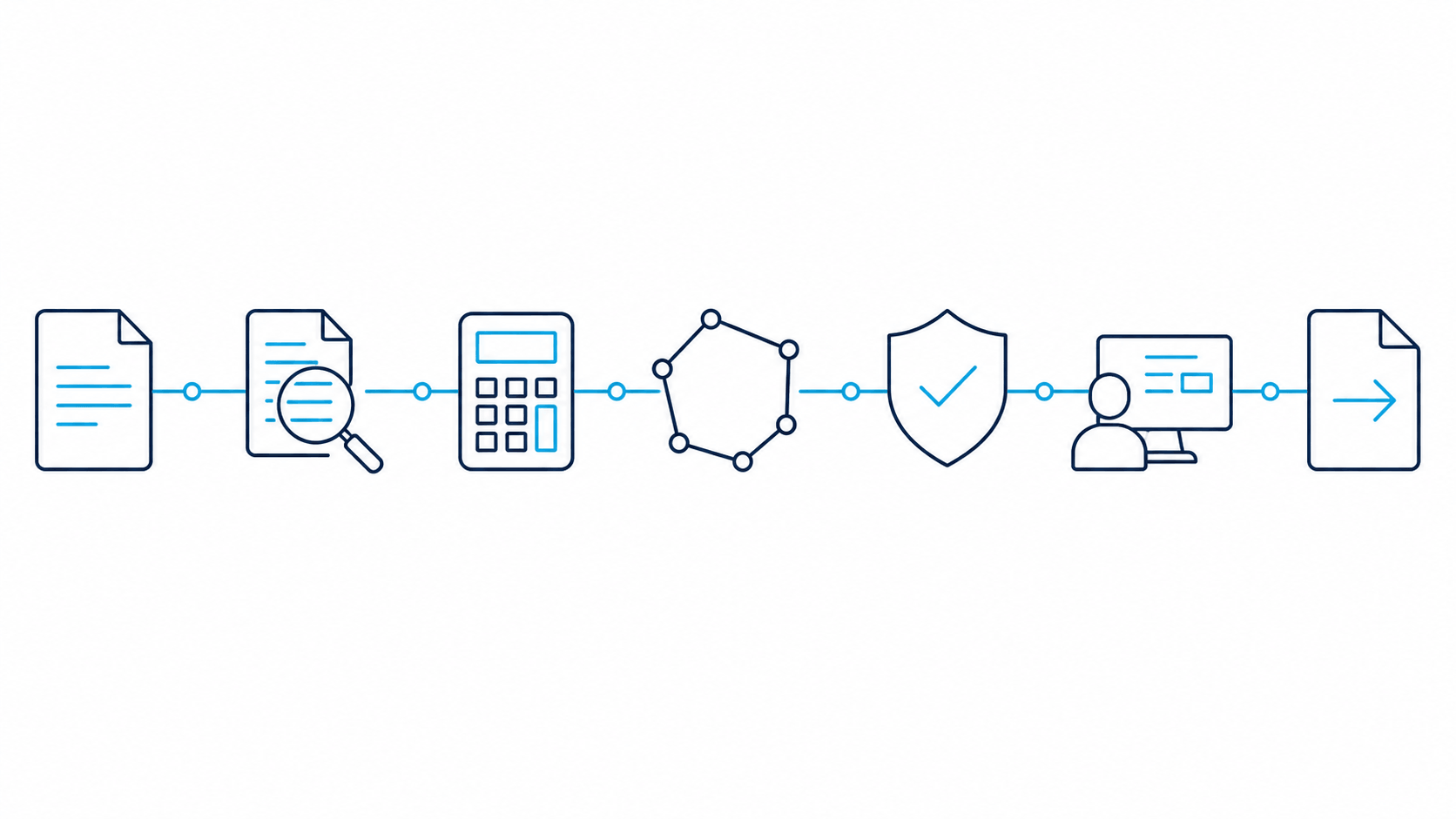
Seven steps, one continuous workflow — from a scanned document to professionally reviewed, CAD-ready geometry.
01
Upload
Upload a PDF, TIFF, or scanned survey plan.
02
Interpret
AI recognizes measurements, evidence, and annotations.
03
Calculate
Bearing-distance, azimuth, and curve calculations.
04
Reconstruct
Digital boundaries, points, curves and evidence generated.
05
Validate
Automated QA identifies potential issues.
06
Review
A survey professional verifies the result.
07
Export
Prepare verified geometry for CAD or GIS.
See a Survey Plan Become Digital Geometry
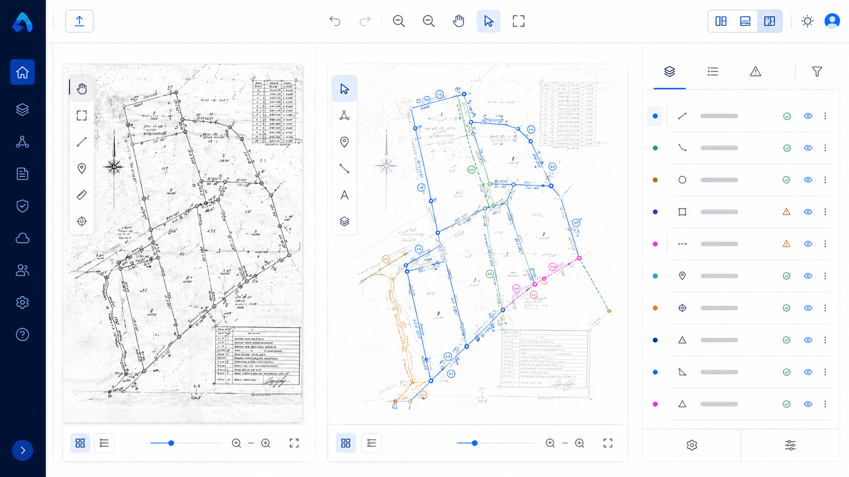
Plan review, side by side.
The original plan, AI-detected features, and structured extracted data — in one interactive view.
Automated QA, before you accept the output.
Measurements extracted
Boundary connected
Closure calculated
1 item requires review
Questionable information is flagged for professional review — never silently assumed.
Key Capabilities
Built for real survey plans.
AI Plan Recognition
Interpret survey plan information automatically, from bearings to legal descriptions.
Measurement Extraction
Extract bearings, azimuths, distances, curves, and coordinates.
Survey Evidence Detection
Recognize monuments, pins, ASCMs, and other evidence.
Boundary Reconstruction
Convert extracted measurements into connected digital geometry.
Automated Closure Analysis
Calculate and flag potential closure discrepancies.
Coordinate Intelligence
Support UTM, 3TM, and project-specific coordinate systems.
CAD Integration
DXF output built for AutoCAD, Civil 3D, and MicroStation workflows.
GIS Integration
Parcel polygons, boundary lines, and shapefile-ready data.
Professional Review
Approve, modify, or correct every detected result.
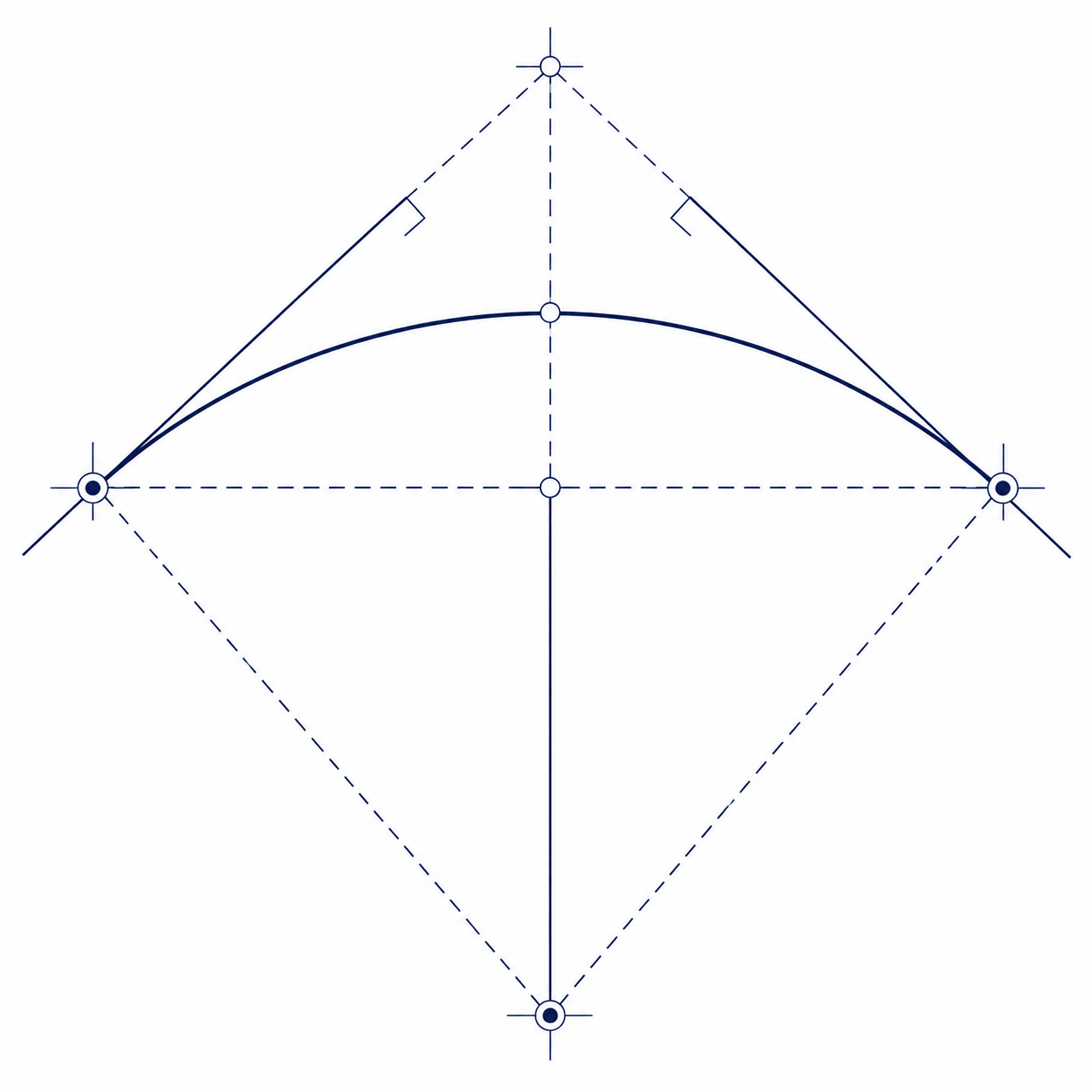
Intelligent Curve Recognition
Radius, arc, chord, delta — reconstructed, not traced.
GeoAlign Pro identifies curve information directly from the plan and rebuilds it mathematically, associating each measurement with the correct survey geometry rather than simply tracing an image.
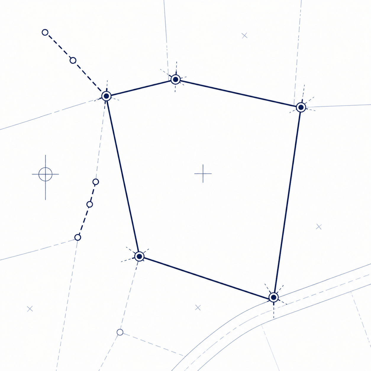
Boundary Reconstruction
Points, lines, and evidence — connected.
Extracted bearings, distances, curves, evidence and control information are converted into connected digital geometry — the plan rebuilt mathematically, ready for professional review.
Before & After
The repetitive work, removed.
Traditional Workflow
Read measurements manually
Enter bearings and distances
Draw boundaries
Construct curves
Check discrepancies
Calculate closure
Prepare CAD drawing
→
With GeoAlign
AI reads the plan
Measurements extracted
Geometry reconstructed
QA performed
Professional verifies
DXF / GIS output
Professional Control
AI doesn't replace the surveyor.It removes repetitive work.
GeoAlign assists with extraction, calculations, reconstruction, and drafting. Survey professionals remain responsible for verification, interpretation, and professional decisions.
Solutions
Built around your workflow.
From individual boundary research to large-scale record digitization.
Land Surveyors
AI-assisted plan reconstruction for professional surveying workflows.
Learn more →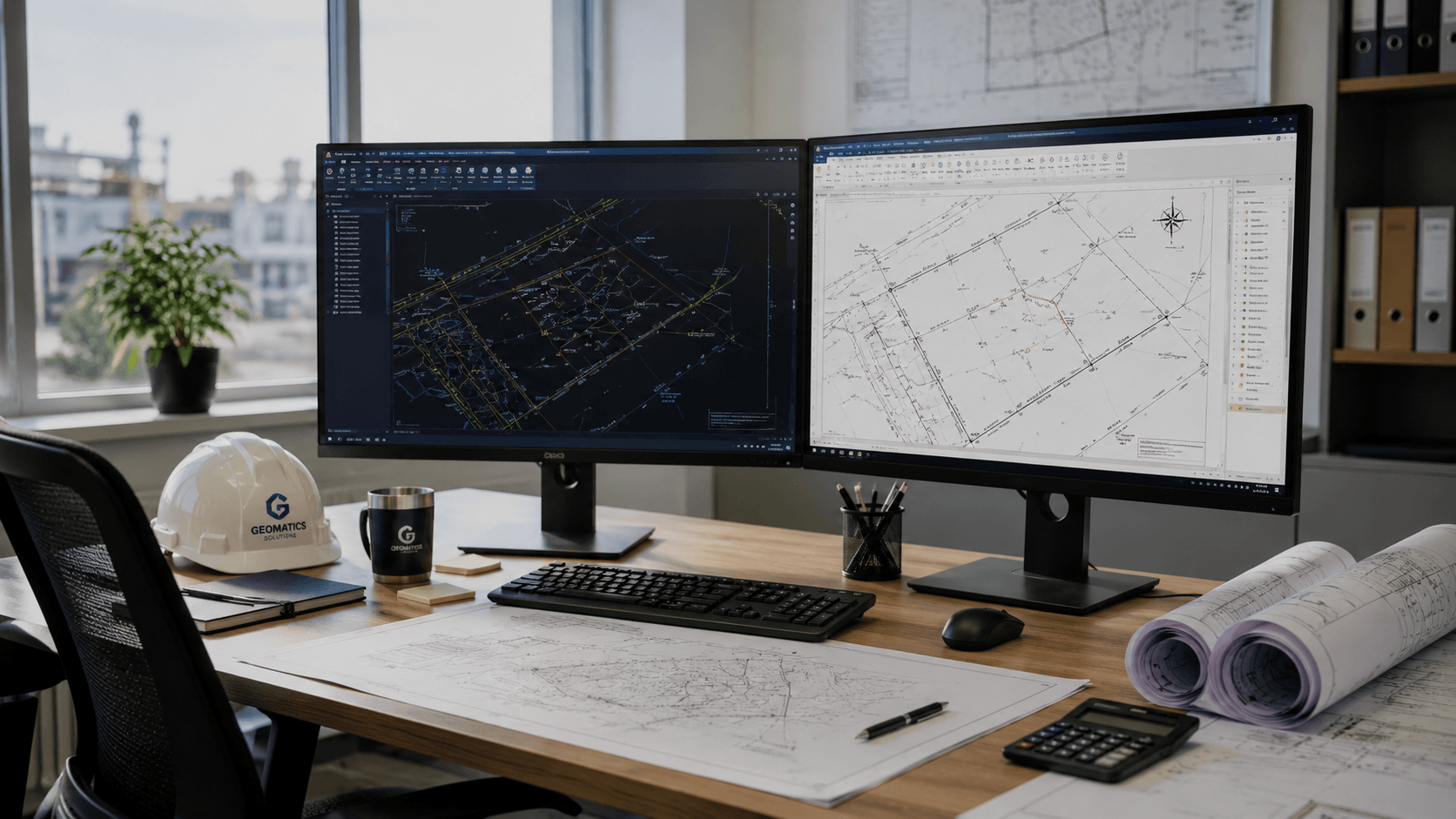
Engineering & Geomatics
Build usable spatial base information from existing plans.
Learn more →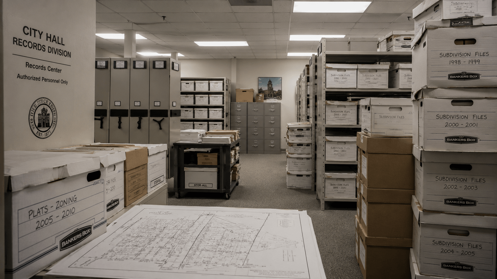
Municipalities
Transform historical survey documents into structured digital information.
Learn more →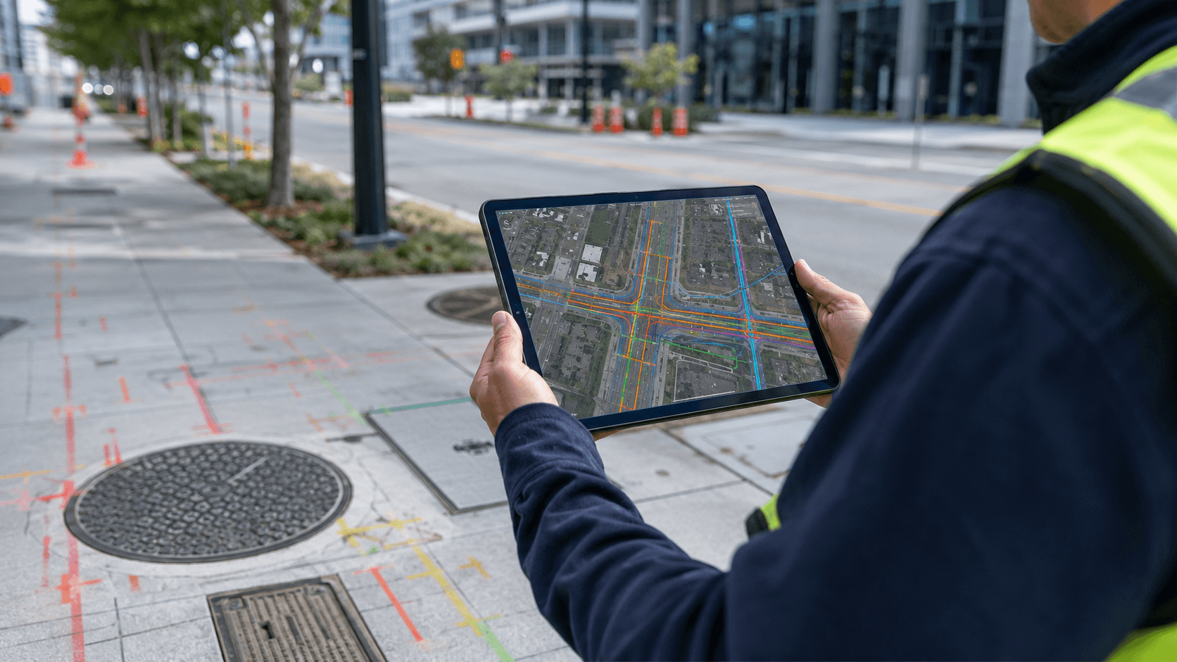
Utilities
Improve access to boundary, easement, and right-of-way information.
Learn more →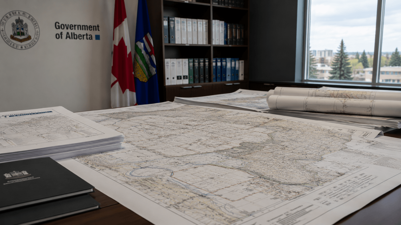
Government
Support large-scale digitization of cadastral and survey records.
Learn more →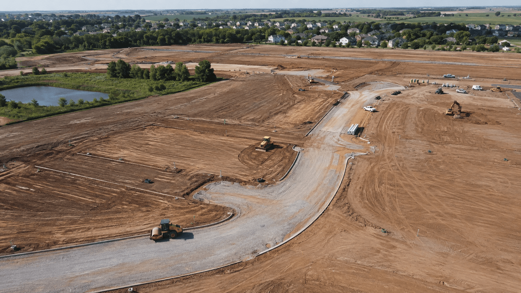
Infrastructure
Create boundary intelligence for planning and preliminary design.
Learn more →
Security
Built for organizations that handle sensitive records.
- Data ProtectionSecure processing of customer survey documents.
- EncryptionEncryption for stored and transmitted information.
- Access ControlsOrganization-level permissions and user management.
- Audit LoggingTrack system access and important activity.
- Data RetentionClearly defined policies for uploaded documents and generated data.
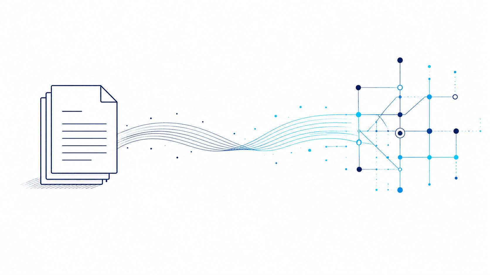
Mission
An intelligent bridge between traditional records and modern systems.
GeoAlign Pro reduces repetitive geomatics work by transforming traditional survey information into intelligent, structured digital geometry — while keeping qualified professionals in control. Built by Inteligise for the future of professional geomatics.
Get Started
Your next survey plan doesn't have to start from scratch.
See how GeoAlign can transform survey-plan interpretation and reconstruction into an intelligent, professionally controlled digital workflow.